
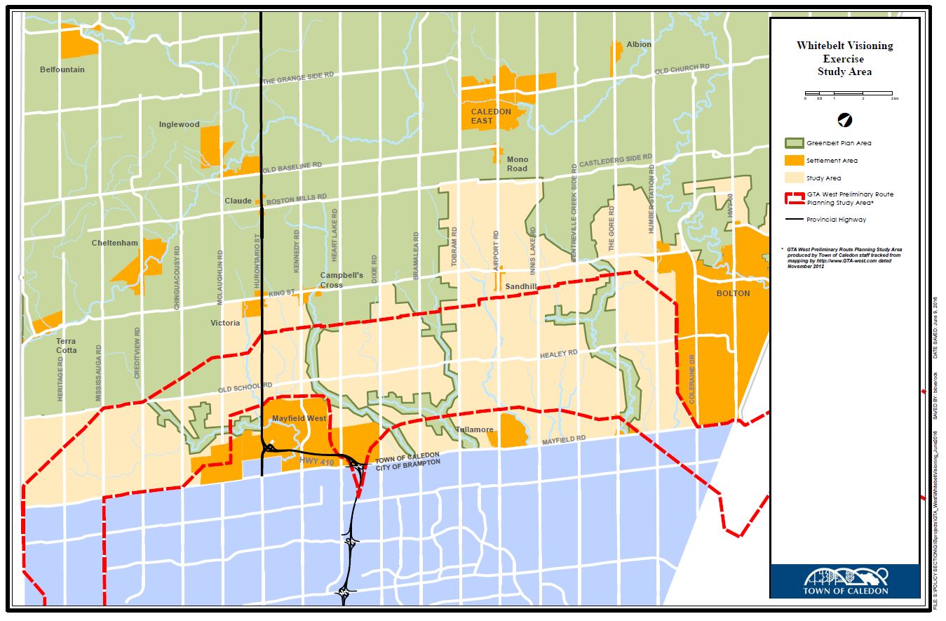
The Study will generate a land use vision for the Whitebelt, looking at all land uses including residential, commercial, institutional, employment lands, agriculture and environmental protection.
Potential new communities and expansions to existing communities will be identified.
The land use concept generated by this Study will be used for land use planning in the future, strategic employment land protection and infrastructure planning.
The Town has retained Meridian Planning Consultants to complete the Study.
This is the second Public Open House for the Whitebelt Visioning Exercise.
What is the Purpose and Format?
The purpose of the Public Open House is to obtain public input on the building blocks for a long-term vision for the Whitebelt.
These building blocks will be used in developing land use options for consideration in the next phase of the project.
This will be a highly interactive workshop which attendees will find very interesting and useful.
The Public Open House will include an open house format for one-on-one discussions with Town staff and the consultants, followed by a formal presentation and interactive public feedback session.
Details
Monday, June 27, 2016
6:30 p.m. – Open House
7:00 p.m. – Presentation
Location: Brampton Fairgrounds (12942 Heart Lake Road) map
Additional Information:
For additional information on the Whitebelt Visioning Exercise, please visit caledon.ca/whitebelt
Staff Contact:
Kathie Kurtz
Senior Policy Planner
905-584-2272 x. 4266
kathie.kurtz@caledon.ca
 Subscribe to this page